
Wednesday, July 19 was the day we had set for our attempt at 14,042' Mt. Lindsey. After nearly 15 miles of hiking to Challenger Point, we were hoping that the 9 miles to Mt. Lindsey would seem much quicker. From our base in Westcliffe, it took us over an hour and a half to get to the Lily Lake trail head where Nicole, Laurie, Kim and I would start our hike. The forest access road to this trail head had washed out in a massive landslide a couple years ago, and it was only rerouted and reopened within the past couple of months. No pictures of that area, but it was unbelievable how much earth and trees had slid across the road.
We got on the trail at about 5:30 AM, just as it was starting to get light. The first mile of the trail was very flat. Shortly after we started, we came to a clearing where we could see toward our final destination.

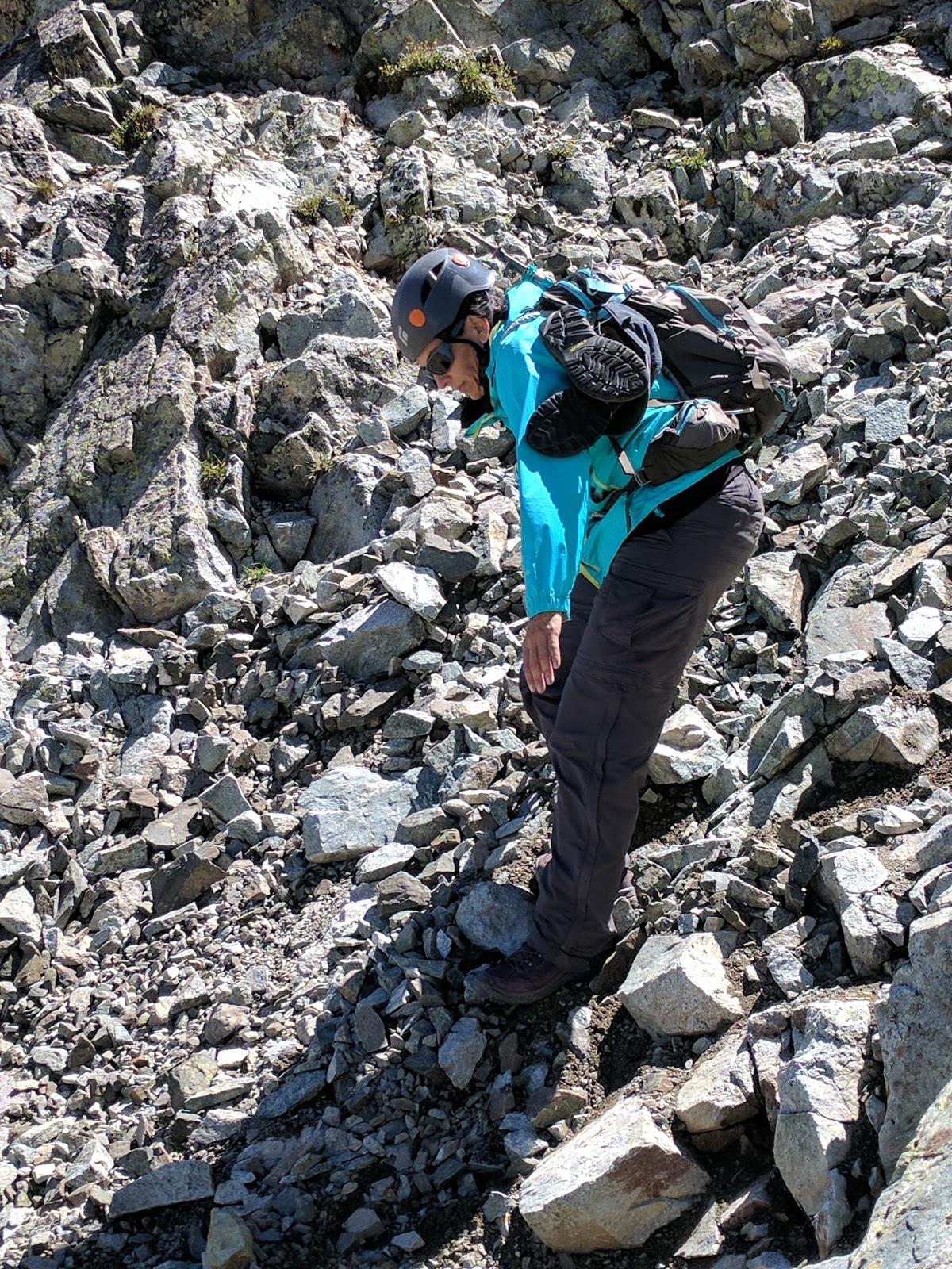
About a mile in, we had to cross a river. This was the first time I had actually had to remove my boots and wade across, and needless to say, it was numbingly cold. It would feel really good on the way back, but right now, it was just freaking cold.

Shortly after this crossing, we started to climb steeply up through a large gully. Similar to the Challenger Point hike, there were a lot of waterfalls on this hike.


At the top of this gully, we left the trees and could see the false summit of Mt. Lindsey, toward the right center of the picture below. The peak left of center is 13,500+ foot Iron Nipple. We would be ascending the saddle between these two peaks before turning right and heading up Mt. Lindsey's north face.

We had to drop down into a high level basin before we started to make our way up to the Lindsey / Iron Nipple saddle.

Just below the saddle, we encountered a lot of talus but still nothing technical, just a lot of rock hopping.

On the 13,150' saddle, we could look to the southeast and see the false summit of Mt. Lindsey. Of course, we didn't know it was the false summit at the time.

There are a couple main routes to the summit. One is an exposed class 3 climb right over the ridge on the right side of the summit above. It is considered to be pretty solid rock, but also very exposed climbing which I have never been comfortable with. So the other option is a "class 2+" scramble across the north face, and this is the way we would be going. First, we made our way to the face. Our first goal would be a gully just to the right of center at the top of this picture.

There were occasional cairns, but it was mainly just find the way up you were the most comfortable with and go.


It was very slow going. There was some very loose rock but fortunately we only had one other party we had to contend with that was coming down, and we were able to pass them safely. From this shot, you can see the saddle below us where we had started.

After climbing through several gullies, I thought we would be just below the summit for an easy scramble up, however this was where we realized we were simply approaching the false summit. The true summit was still almost a quarter mile away. Damn.

Fortunately, this was just a ridge walk and the really hard climbing was over. We quickly made our way to the summit and could finally catch our collective breaths. We had all just completed some of the hardest climbing we had ever done.

This would be my 34th 14er summit.

To the north, 13,828' Huefano Peak is not far away.

The Spanish Peaks could be seen about 30 miles to the southeast.

To the west, 14ers Little Bear, Blanca and Ellingwood Point are not far away.

Here is a video from the summit.
We stayed maybe 30 minutes on the summit in perfect weather, and after refueling and getting all the pictures we needed, we geared back up to begin the difficult downclimb. I think most of us were more comfortable going down, but it was still loose and we still had to move incredibly slowly. This video gives an idea of what we were dealing with.


By the time we got back down to the saddle, I had kicked a large rock down the gully about 10 feet into Nicole's back (she was ok), and Laurie had slipped, twisting her ankle and slicing up her hand. Fortunately we had a first aid kit to patch her up.

Battered but not beaten, we headed back down the way we came and taking in the scenery we had missed as we trudged up a few hours earlier in the day. Here, Blanca and Ellingwood Point are centered in the distance.

Very happy to be off the really steep face.

Pinching Lindsey.

This is the trail we would follow, running off into the distance through this basin and off to the right.

In the daylight, the colors of the flowers were much more pronounced.


And this view, that we had initially seen in the very pale early dawn light, just popped in the full sun of the afternoon. The odd shaped peak left of center doesn't have a name, but we could see it most of our way up.

In 10 hours, we had completed our summit of Mt. Lindsey. It was easily the hardest summit any of us had achieved, and we needed some great teamwork to get us all up there. There was at least one time where I was stuck to the point of thinking I couldn't go any further, but a little encouragement from Nicole and Laurie below and guidance from Kim above helped me move past that. It was a definite learning experience, and while I'm still not comfortable with a lot of exposure, I'm probably more comfortable now than I was before making the summit. We all got our battle scars, but we made it down safely, and that was the most important thing.
No comments:
Post a Comment