Friday, July 21st was our last day in the Sangre de Cristos. We had a monster stats day with Challenger, a technical day on Lindsey, and now it was time to finish the week with an attempt of what is considered the easiest summit in the range, 14,064'
Humboldt Peak. Although not technical, there is still a little scrambling involved, and it is still an 11 mile hike. To add to the excitement, there was a 70% chance of rain after 1:00 that afternoon. We would need to start early again: Wake up at 2:15 am, leave the hotel by 3 am, and on the trail at 4 am. And just to make it even more interesting, Nicole had injured her knee on Mt. Lindsey, so Kim would get to drive her jeep on a pretty rough 2.7 mile stretch to the trail head. In the dark. Good times.
The plan was to get to the trail head and do the first 2.5 miles of hiking on an old 4wd road in the dark. 4:00 AM was, indeed, pitch black, but with star brightness you only see away from the big city. We saw several shooting stars in the couple of minutes it took to gear up.
About an hour and fifteen minutes in, we reached the old South Colony Lakes trail head just as the sun was rising, right on schedule. From here, we got on a regular single track trail into the woods. As was the case with all the other hikes, it was very muddy and wet on this route. We would actually run into several campers this day that said they were washed out of camp the night before, and everything they owned was wet. It was really soggy up there.
Our next goal was to hike up to and above the South Colony Lakes. We would be hiking to the saddle in the upper right hand corner of the picture below.
This is one of the lakes below Broken Hand Pass, which was right next to Crestone Needle (off camera to the right). Most of the way up we were lucky to be in the shadows of the big peaks around us. Made for a cooler hike but not great light for pictures.
The area above the lakes contained still more muddy areas and lots of "willow mucking". It was maybe a mile, and then we got to the base of the saddle we would need to climb to, about 700 feet above us.
There was a very good trail snaking its way up there. This picture looks back down into the valley to the lower South Colony Lake. This was where we had just come from.
Once on the saddle, we had a pretty straightforward but 1200 foot tall ridge we had to follow up toward the summit. It doesn't look like much in the picture, but it would take us about an hour and half to reach the top of it. It was actually incredibly well cairned, and the rock hopping was a little annoying at times but nothing like what we had just done on Lindsey a couple days prior.
Crestone Needle and Crestone Peak towered above the other side of the lakes. This was the first time I'd gotten to see them up close like this, and I stopped often to look at them and just shake my head in awe.
Once at the top of a false summit (those seemed to be really common up here), we could see the true summit about a tenth of a mile away. It was just a walk along the ridge to the true summit, then a short 10 foot scramble up a wall and our destination.
This was my 35th 14er.
To the north, we could see Kit Carson Peak and Challenger Point (the round summit and long ridge on the left of this picture). We were just in that basin a few days ago and it was cool to see it from another perspective.
The Crestones were still looming large nearby, but now we were on even ground with them.
Looking to the northeast, Westcliffe (where we stayed for the last 4 days) was in the distance 6,000 feet below us.
This is 13er Colony Baldy, a very prominent looking peak from down below.
We saw a ton of marmots on this hike, including several at the summit guarding the cairns.
The large, flat summit of Humboldt. There were shelters on both ends of this summit ridge. I didn't know which was the true summit, so we visited both just to make sure we got it.
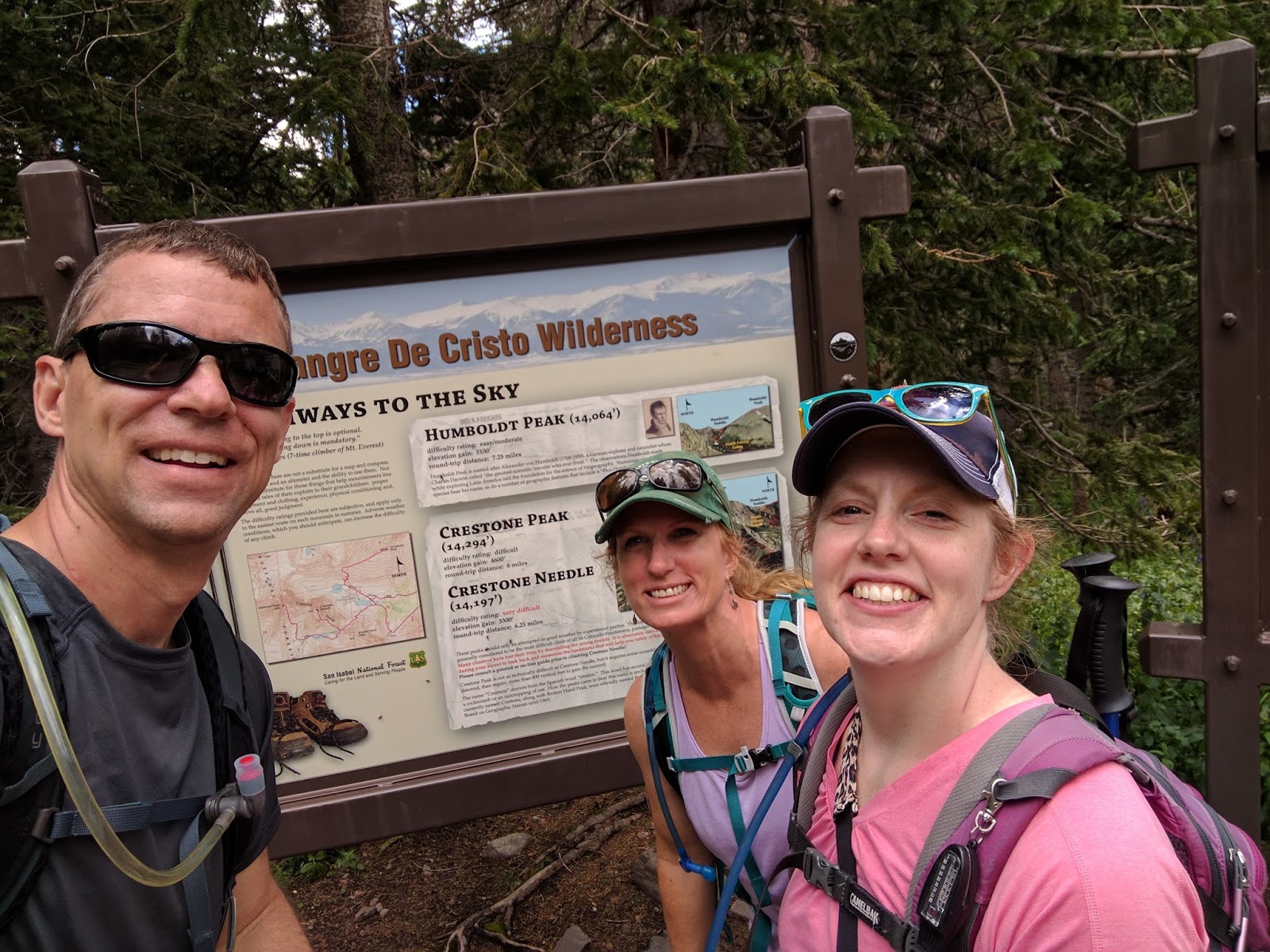
Laurie and Kim were my partners on this trip, while Nicole was actually hiking not far below us on a less strenuous hike to save her knee (she had summited Humboldt the previous summer anyway).
We had lucked out with the weather again that day, however just as we got to the summit, there was a very small, puffy cloud that exploded in size as we spent about 30 minutes on the summit. I was getting antsy, not wanting to be stormed on, so I encouraged the others to pack it up so we could make our way down a long summit ridge again.
As much as we were in a hurry, there is always time to stop and admire the flowers.
And with the better light, the Crestones looked spectacular above the lake.
But once down below the saddle, we knew we could make pretty good time. The clouds that were growing above us kept moving out of the way, and rain no longer looked imminent. We took a picture with Humboldt as our backdrop....
...and with the Crestones behind us on the other side.
In the light of the afternoon, we could now see the road we started our morning on about 8 hours prior. Not missing much in the dark.

Beautiful bridge at the new, lower trail head where we parked.

The crew all made it back with no difficulties this time. It was a great hike to end the week with.
And Kim did great with Nicole's jeep on some nasty road.
And so ended another great week of 14er climbing with some of my best friends and hiker buddies, and I could finally check a few off of a new range. We were incredibly lucky this week to have dodged the monsoon storms like we did, and actually this day we climbed Humboldt, where the chance of rain was the highest of the week, it never even materialized over that peak. As we were back at the hotel, some areas of the Sangres were getting some good curtains of rain, but the area around Humboldt and the Crestones was actually lit up with sun, shining in the spotlight. There is still much to be seen up there, and I will definitely be back for more.